Mamquam Blind Channel
Linking the municipal pieces along the Mamquam Blind Channel has long been a goal.
Our Official Community Plan established this as Development Area Four and specified the character and form that developers have to follow. The goal is to gradually convert to a modern mixed use of commercial, tourist and multi-family residential.
Blind Channel Park was officially opened in April 2014. This park features the Xwu’nekw Squamish Nation war canoe shelter, paddling club storage lockers, slacklines, picnic tables and a beach launch for canoes and kayaks.
Bringing outdoor recreation into the heart of downtown and connecting it to the waterfront has taken a large step forward. More to come!
A proper waterfront pedestrian pathway will eventually link Rose Park to the oceanfront and be a great tourist attraction.
Our original harbour was on the original Mamquam River, flowing near the Smoke Bluffs. The shallows of the Squamish River Estuary did not permit dockage. Mashiters Landing at the east end of Winnipeg Street was the town’s transportation hub until the long railway pier was built in 1910.
Since rail and road links to Vancouver only arrived in 1958, our town was mainly connected to the outside by water.
The railway tracks leading along Loggers Lane may eventually see excursion trains and vessels again being linked on our waterfront.
This was a very popular tourism journey until Highway 99 was greatly improved in 2010.
Royal Hudson and M/V Britannia last ran in 2001. A return of this sightseeing combination would be a boon to downtown business. The past decades of misuse and neglect are ending.
The removal of hundreds of creosoted pilings, through the efforts of Squamish Marine Services and Squamish Streamkeepers, will aid in the environmental recovery of the Blind Channel.
Our town has the opportunity to celebrate our maritime roots and turning the Marine Strategy Report into reality will take time.
The Downtown Business Improvement Association continues its efforts to draw people towards our cultural and historic center.
MAMQUAM BLIND CHANNEL
Look closely and you may notice the endangered Pacific water shrew or the threatened red-legged frog.
Origin of name: The dictionary states that a blind channel occurs when a body of water is closed at one end. This occurred in 1921 when the Mamquam River changed course to the west and into the Squamish River at the present site. There is no flow down the original course; hence a blind channel.
Trailhead: Squamish Adventure Centre parking lot.
Use: Pedestrian only; possibly a bike path close by.
Difficulty: Easy green.
Elevation: Three metres.
Distance: .7 km
Etiquette: Treat others with courtesy.
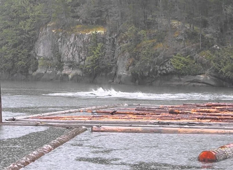
Dolphins rush up the Mamquam Blind Channel in March in 2014. Although close to downtown, there are a lot of wildlife along the channel.